In Peru, the primary language is Quechua, then Spanish. English, German, Chinese, etc. are all 3rd level languages.
These were religious people, celebrating the gods of the Sun, Moon, Sky, Water, the land and the underground, among the many. Nature was interwoven into their daily lives.
Time to explore. Above Urubamba and the Sacred Valley. Elevation: 10,000 feet.

2 lane highway.

Looking down on the salt pans. Here since the time of the Inca, local people still work these pans. Each family owns 25-30 pans.


The pans are shallow. 3 portions of salt can be harvested yearly: a top, hearty salt, a middle layer is pinkish and used for food. The lower is a heavy salt for more industrial use.


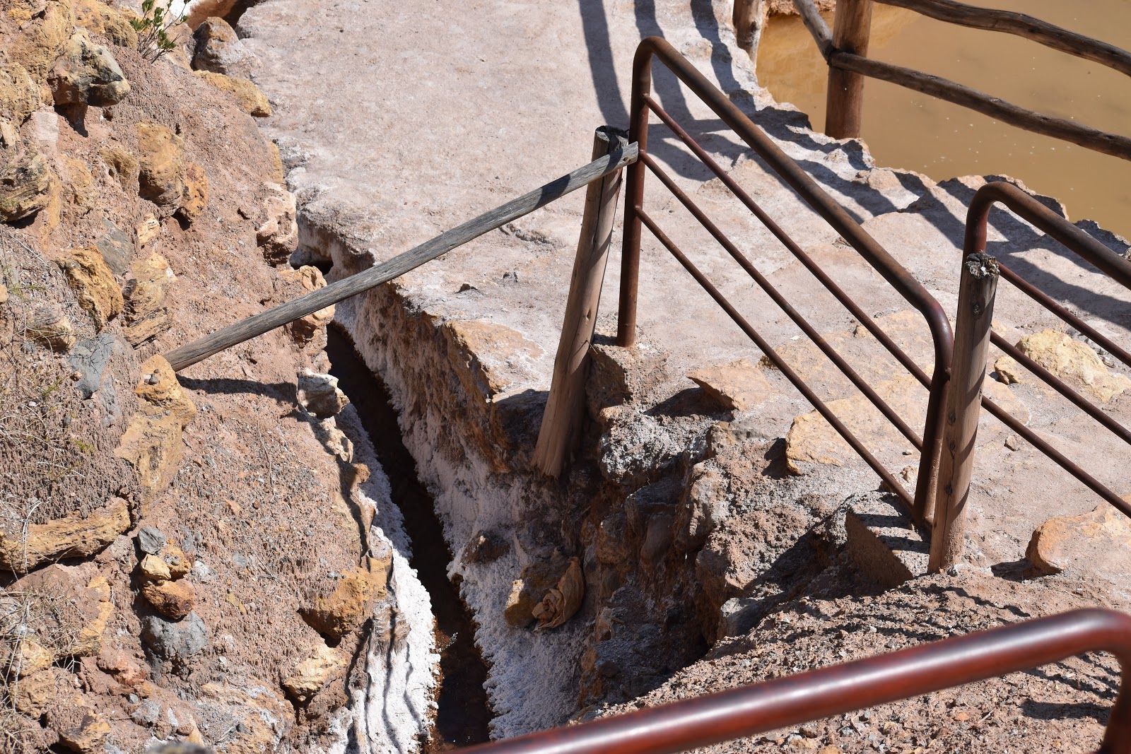
This is where it starts. A tiny trickle of water that feeds the entire system.


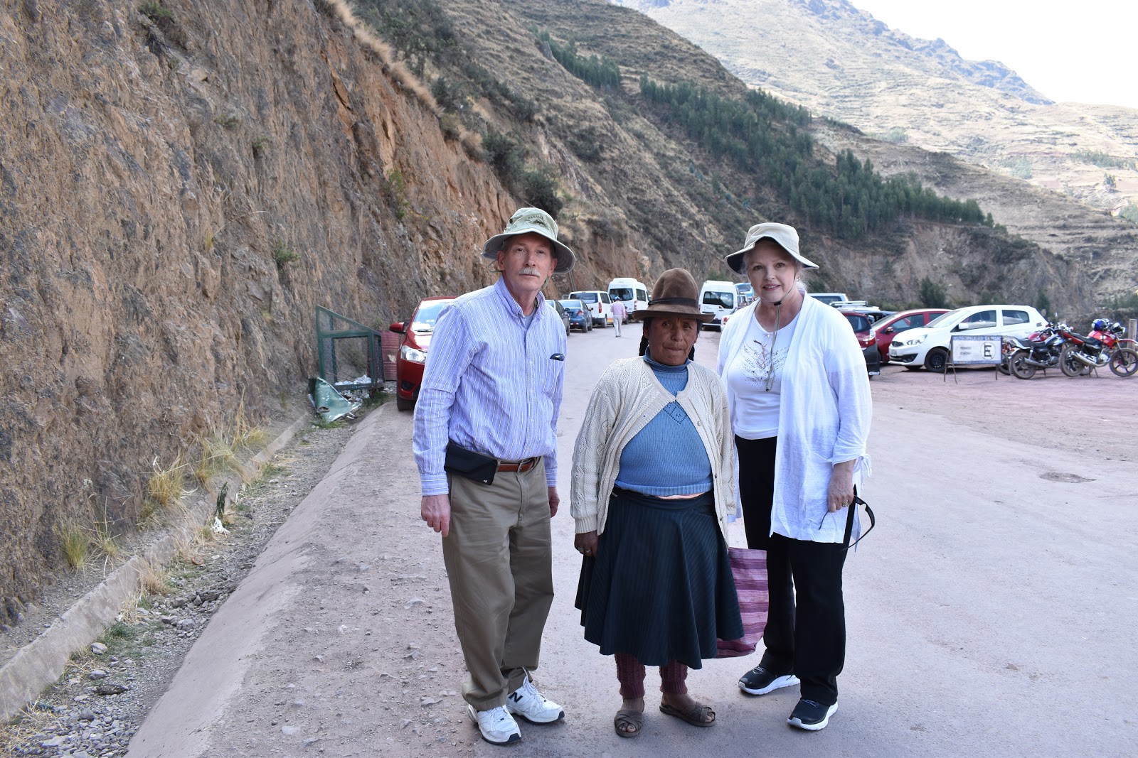
Gladys and Anne.

Joe & Anne.

This is a pine tree. Yes, a pine tree. Looks nothing like the local variety.

Time to move on.

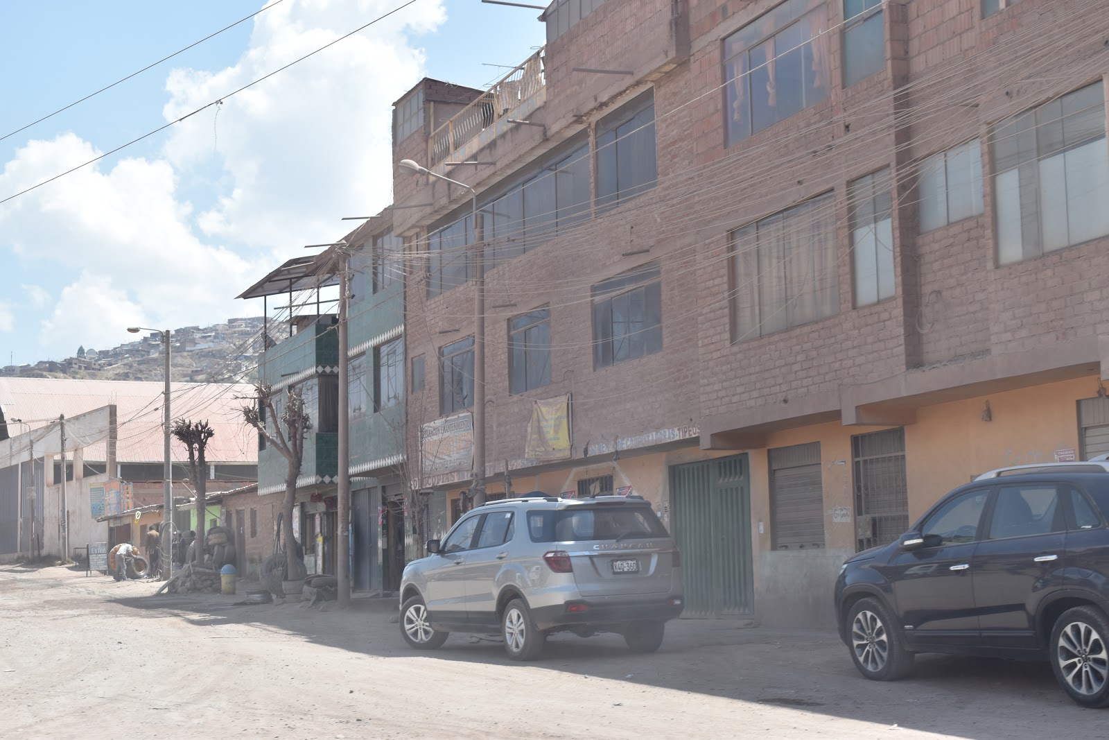
Heading toward Moray ruins, we went through Mara. The locals are mostly farmers. Tiny streets and well worn buildings.

Local industrial equipment is 4 legged. Machinery cannot work on the steep hills and rough terrain.


Moray ruins.


Stones sticking out of the terrace walls. Steps to the next level.


Lean if you want, but don't expect me to go get what will be left of you.

Anybody remember commercials for Zamfir, the pan flute player? Zamfir needed to take lessons from this guy. In several locations were musicians playing traditional wooden instruments. The sound was beautiful and soothing. The music drifted through the valley and added a magical tone to the location.


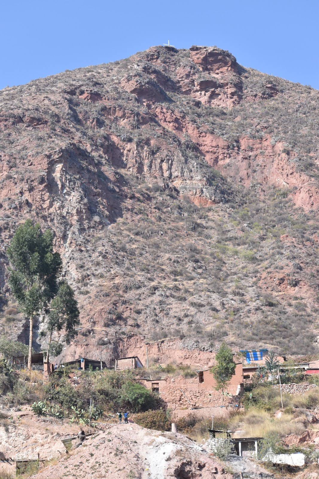
Home for someone.

Not much room. I could never determine if there was a system for who stops & waits and who drives by.


Local farming on a relatively flat piece of land.

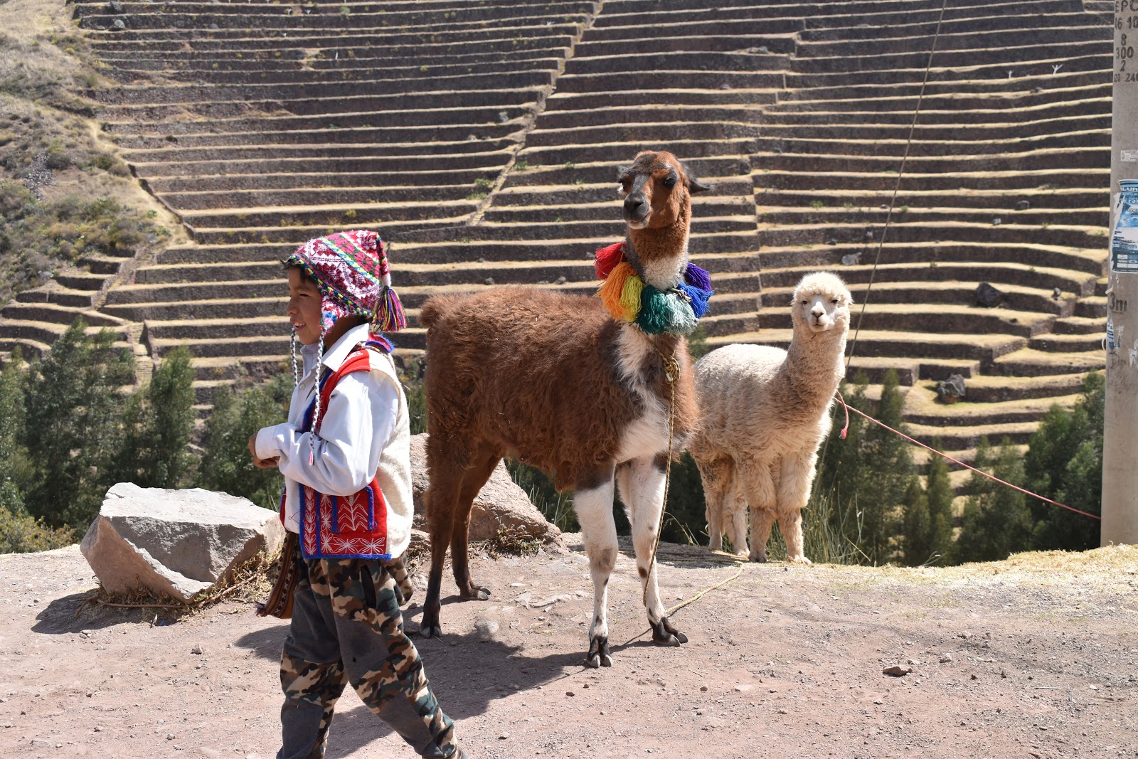
Inca tractor. In this environment, animals are better than machinery.
1 person leads the animals and another works the till behind the animals.


Local transportation in the Sacred Valley. Called tuk-tuks in India, the local term is mototaxi. Used for short trips in the communities.

Ollantaytambo Ruins. This was a rest station between Incan towns. People traveled by foot and the empire was spread over thousands of miles.


Granary up on the mountain. The Incan people were expert at storing grain for years when the harvest was not good. The grain was hauled up & down by humans. Alpaca & llama could not navigate the steep terrain while loaded with bundles of grain.


Templo Del Agua. Water came from local springs.


Note this double doorway. This was an entrance for Incan royalty. Also note the slanting walls.


More local transportation

SkyLodge. One must hike up to spend the night there. I'll stick with a luxury hotel.

In the next post, We'll the hop aboard PeruRail. Destination is the Machu Picchu pueblo at the base of Machu Picchu mountain.